Col du Calvaire de Font-Romeu
Streckendetails
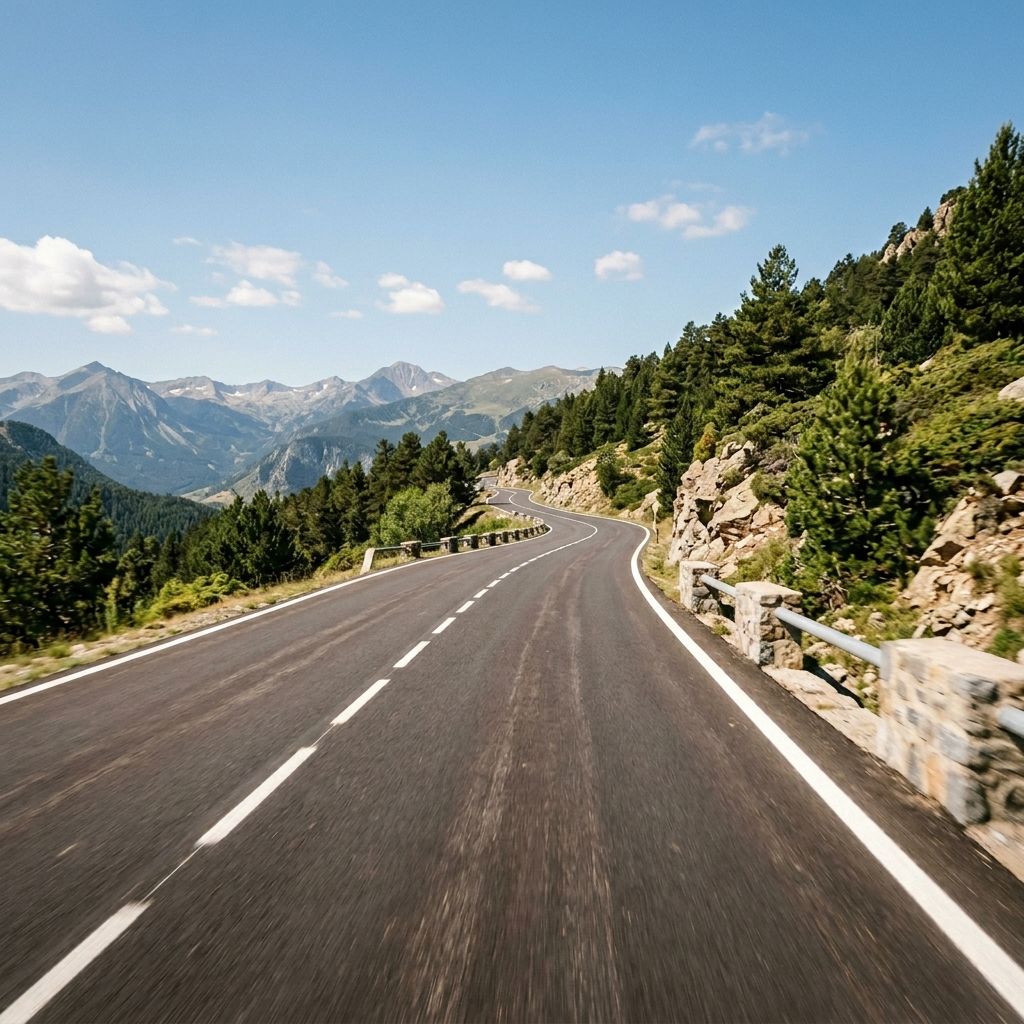
The Col du Calvaire is asphalted and well developed on the D618. There is usually a central reservation. The road surface is medium to wide and the curves alternate between flowing, medium-width radii and a few more c…
The Col du Calvaire is asphalted and well developed on the D618. There is usually a central reservation. The road surface is medium to wide and the curves alternate between flowing, medium-width radii and a few more compact Hairpins, which means that the line is usually easy to read. Easy for motorcyclists because the lines are easy to read and the east side is short - the standard is in the medium range.
In terms of traffic, the route serves as a regional connection, primarily providing access to the hilltop town of Font-Romeu and linking Mont-Louis with the Cerdagne valley near Ur. Supra-regional alternatives in the valley take up a share of the through traffic, but the volume can fluctuate significantly depending on the season: During vacation periods, at weekends and during the winter sports and summer seasons, you can expect noticeably heavier traffic, sometimes with slow vehicles and buses; outside peak times, traffic is usually moderate.
Keine Regionen verknüpft.
Motorradtouren zu diesem Pass
Distanz
Wähle die Distanz deiner idealen Tour.
Hyper-personalisierte Touren für dich und deinen Stil.
Gestalte deine eigenen epischen Touren mit unserem intuitiven Routenplaner. Wähle Motorrad aus, gib Start-, Ziel- und Wegpunkte ein und lass dir deine Route berechnen.